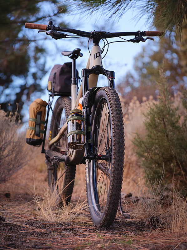
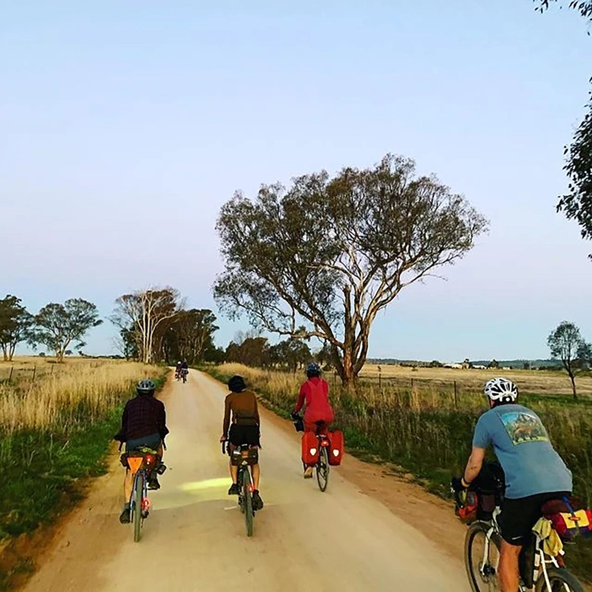
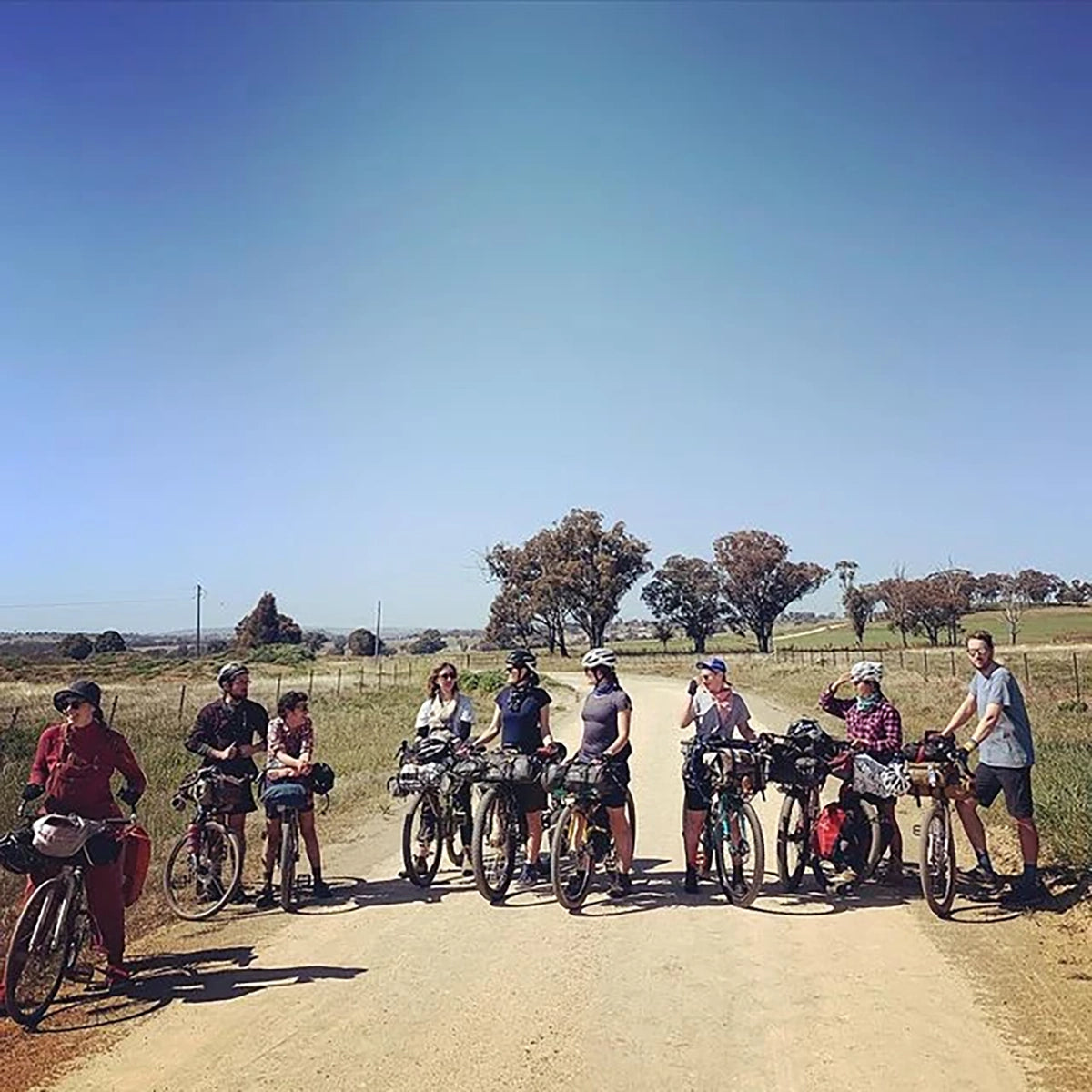
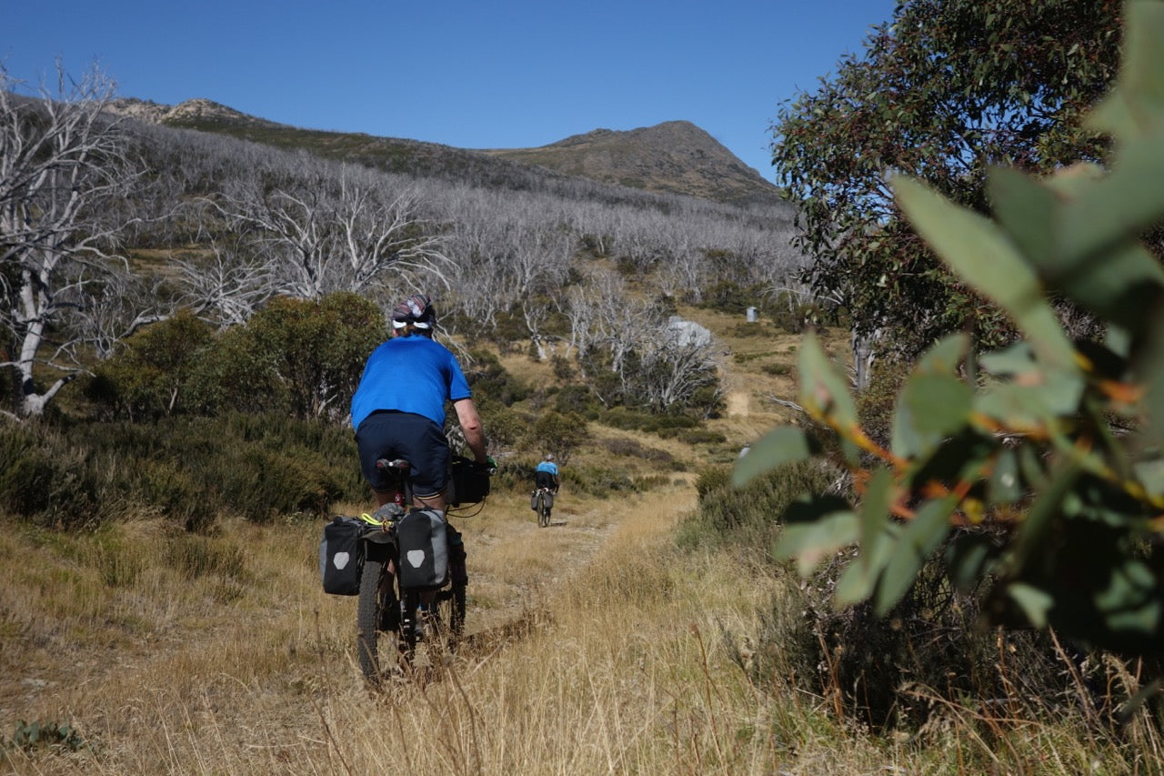
Whether it's your first or your fiftieth tour, the Central West Cycling Trail will delight with a wonderful mixture of geography, small towns, and great people. The riding is very accessible for most riders, whether you decide you want to travel light by staying in pubs each night, or camp out under the stars.
You can start this trail at any town along the route. Dubbo and Wellington have train stations (these are CountryLink trains so you do have to put your bike in a box and pay for freight).
The route has been marked with stickers on poles, street signs, trees and bridges. It's still highly recommended to print and take a map (maps) or have the route saved in an offline mapping app (GPX for download)
Photos courtesy of Ali, Gus, Mo
Route notes
Day 1: Mudgee to Duneedoo (30 + 50 kms, 252m + 420m climbing, 30:65:5 Bitumen/Gravel/Sand)
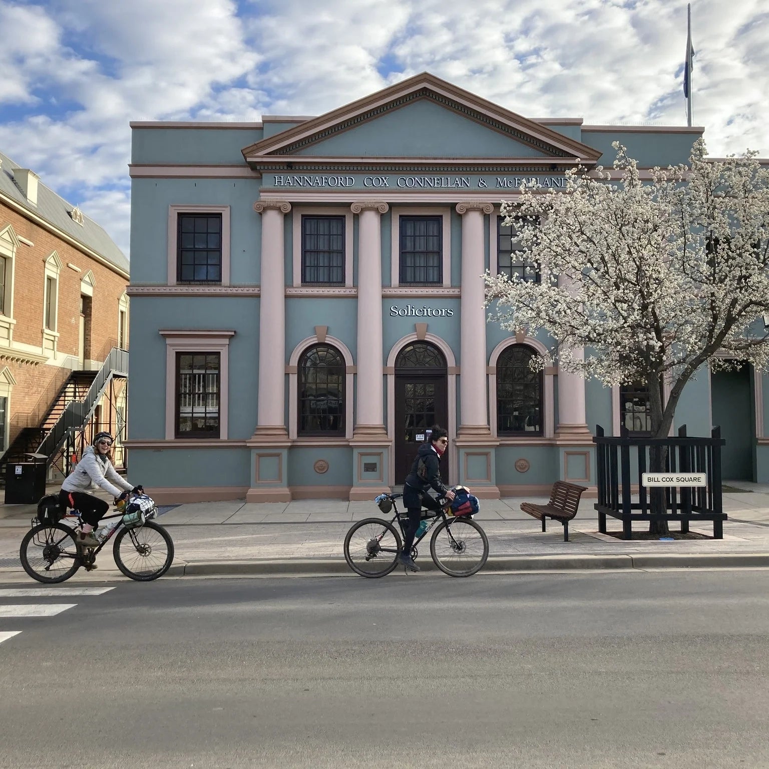
We started this trail in Mudgee, which is about a four hour drive North West of Sydney. It’s amazing farming out there so make sure you leave a bit of time to go to the vineyards. Mudgee itself is great to explore by bike with wide avenues within city limits. The town is filled with beautiful old buildings and blooming cherry blossoms if you go in Spring.
The first turn onto Wilbertree Rd is a short distance down the highway, then it’s smooth sailing to Gulgong. The district views are spectacular. Once you start his gentle climb you realise why it’s called “Nest in the Hills” by the Wiradjuri people.
In no time you’ll be in Gulgong to stock up on pies. This is an historic town, with the main road like something out of a gold rush movie. Plenty of accommodation if you wish to start the trail off with an easy 30km day, however we opted to take our pies on the road.
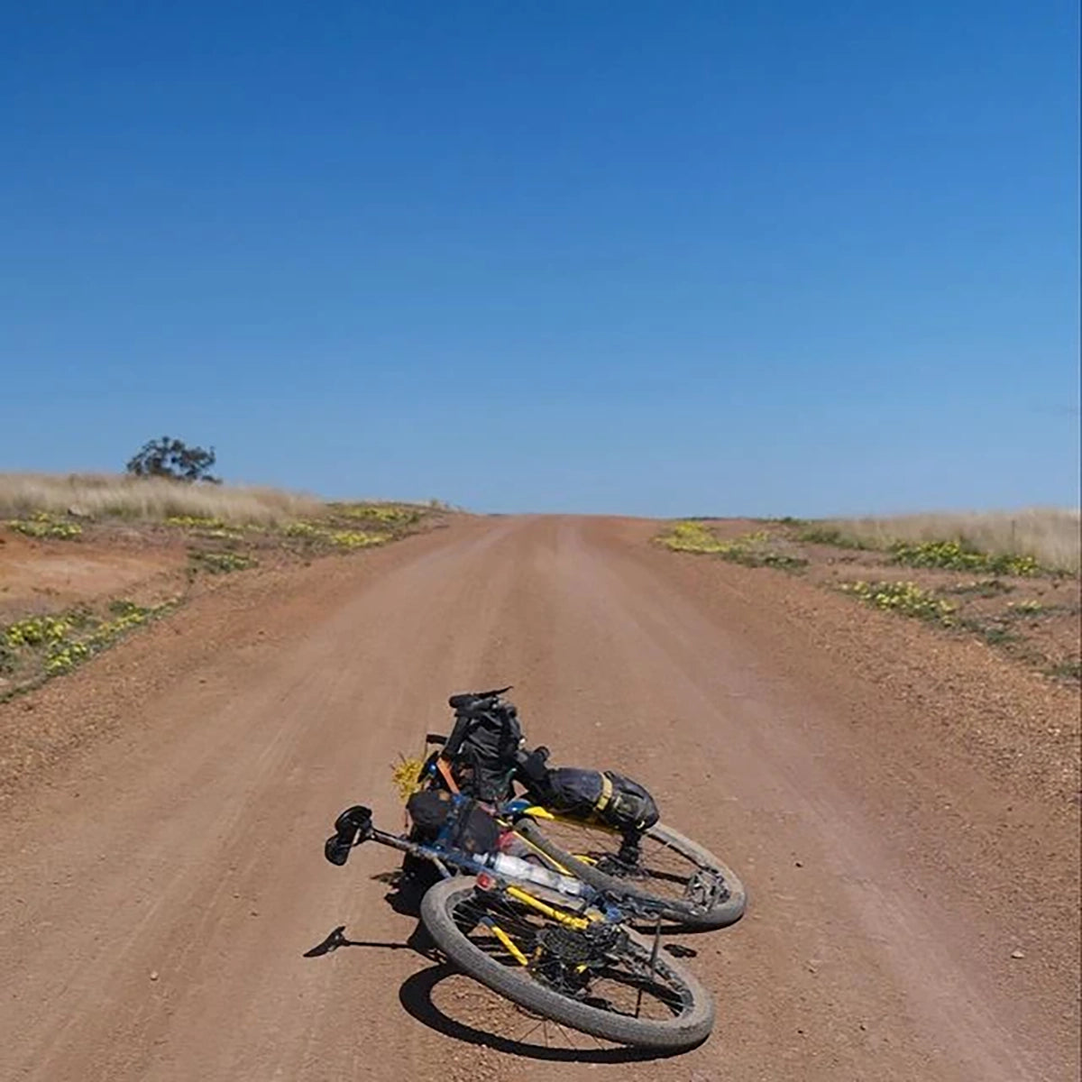
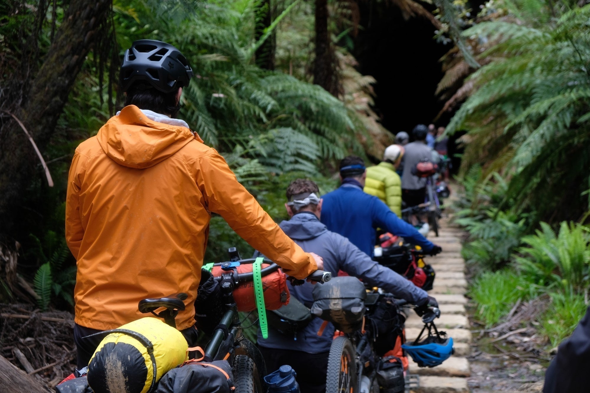
We were lucky enough to bump into Barb (one of the trail planners) as we were exiting Mudgee who informed us of a detour on the Gulgong to Dunedoo stretch which we readily accepted. So halfway up Barney’s Reef road when it becomes Menotherie Rd, we instead stayed on Barney’s Reef Rd. It is far less used, and follows a stretch of virgin forest, so there were a few fallen tree branches to contend with. The next stretch was quite a bit of hike a bike as we contended with many eroded creek banks, and soggy sand (wouldn’t recommend after rain).
Jump back on to the main trail at Birriwa, and it’s undulating hills through canola fields all the way to Duneedoo, where the pub and caravan park will welcome you with cold beers and warm showers.
Day 2: Dunedoo to Balimore (51kms + 53kms, 350m + 337m climbing, 50:25:25 Bitumen/gravel/firetrail)
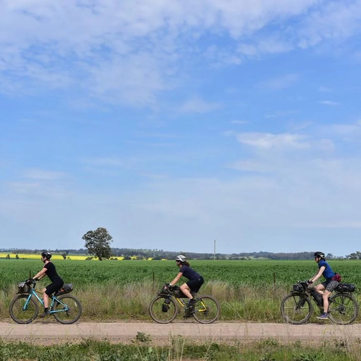
Choose which bakery you’ll get your salad rolls and cakes from for the day. Then get back on the road. The first bit is views to the horizon, on quiet bitumen roads, then all of a sudden… undulating smooth red earth roads through cattle farms.
Once out of the cattle country there is a section of highway into Mendooran (which unfortunately there’s no detour for). The Mendooran pub will make you a huge meal, and the grocery store will fill you bags with lollies. Say hi to Val at the craft shop, which stocks handmade items from around the district. Please note, this is the last grocery store before Dubbo so best to grab a few supplies for the next day.
The stretch of road out of Mendooran to the entrance of the Goonoo Forest is 30kms of quite a busy highway, but the shoulder is wide. Once inside the forest it’s quiet firetrails galore.
Goan Creek Road will take you all the way from the State Forest to the Pub at Balimore called Hair Of The Dog Inn. It’s a quiet and narrow well graded gravel road. The Balimore Pub has some rooms to stay in, or a back yard to camp (best to book ahead as this is the only accommodation option). The new owners - a brother and sister duo - are doing an amazing job of renovating.
Day 3. Balimore to Dubbo (61kms, 396m climbing, 60:40 Bitumen/gravel)
This is probably the easiest riding for the whole trail, with the added bonus of a pub (The Ploughmans Rest Tavern) halfway along. From Balimore to Wongarbon it’s graded gravel, with only a couple of turns, through cattle and crop country.
The first half of the way from Wongarbon to Dubbo is sparsely populated yet almost residential roads, with a few friendly horses dotted along the way.
The final 10kms into the centre of Dubbo is on semi-busy city streets, which is a shock after so much chill riding. But the shoulders are large.
There’s obviously a bunch of stuff to do in Dubbo, like go to the zoo, but my faaaavourite part was going to the RSL Health Club, which is open early morning to late at night, and for $6.50 you can swim laps and use the sauna!!
Day 4. Dubbo to Wellington via Benolong (63km, 426m climbing, 70:30 Bitumen/gravel)
Dubbo to Wellington has a couple of options. The official route is to go along the eastern side of the Macquarie River, we opted for the western side which means we cut out visiting Geurie. Getting out of Dubbo requires a 20km trip down a fairly busy Obley Road which has a semi-adequate shoulder. After the left turn onto Benolong Road it stays quiet all the way to Wellington (except for the wild sausage dogs just before the little river crossing that chased us for ages). There is a little bit of climbing to the top of Mount Arthur along Bushranger Creek Road, but all very manageable, and the bomb down into Wellington is well worth it.
There’s plenty of accommodation in Wellington, and so many food options. We ended up eating at the Lion of Waterloo Tavern, and staying at the Wellington Caves Campground which is 8kms south of the town, just follow Old Sydney Road which runs parallel to the highway, it’s a quiet and well graded dirt road.
N.B. if you are tempted to drop into the Ponto Falls Reserve it is only accessed from the northern side of the River as it’s all private property on the south.
Day 5. Wellington to Gulgong (80kms, 850m climbing, 35:60:5 bitumen/gravel/fire trail)
From Wellington to Gulgong there’s lots of variation in the geography, including spectacular rock formations, and dark forest running along the Cudgegong River (on the next trip out there I will prioritise camping along the banks close to the Wialdra Creek fork).
Leaving Wellington is a small portion of busy highway, then an acute right turn onto quiet asphalt which will last for around 25kms. Once you hit the dirt (very well graded as it services lots of farms) you will want to be keeping your eyes out after about 3 kms for the yellow stickers as the turn onto Uamby Rd can be easily missed. Then it’s fun dirt all the way to Goolma, including a river crossing over the Uamby Creek close to where it meets the Cudgegong River (if it’s been raining recently you may need to get off and walk through).
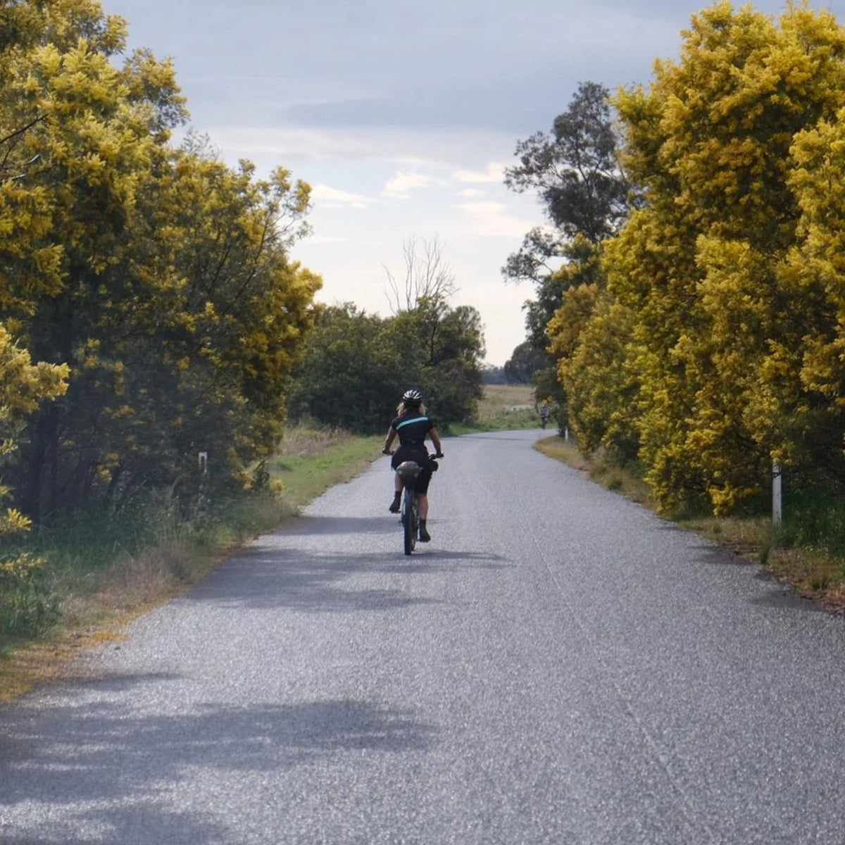
If you are hoping to stay in Goolma you will definitely want to sort something before you start the ride, as there is very limited accommodation. Also, depending which day you go, there may not be food or water available, so give the Goolma Hotel a call before you arrive.You’ll have to travel 3kms down Goolma Road which doesn’t have much of a shoulder, and has a tight bridge crossing, but it’s not a super busy road. Turn left onto Mebul Road, the gravel starts about 3kms down. For the next 20kms you’ll be mostly protected from the sun by trees along the road. There is a right turn onto Spring Ridge Road, which you can identify by the old bridge. Once out of the trees you’ll get a great view of the Gulgong town lights, and of a massive solar farm!!! There are plenty of accommodation options and food options in Gulgong, so take your pick.
Day 6. Gulgong to Mudgee (30kms, 241m climbing, 40:60 Bitumen/Gravel)
Is just a retrace back to Mudgee. A nice resolution to a fabulous tour. The view of Mudgee nestled in the valley will be even more beautiful than when you started.
Important details
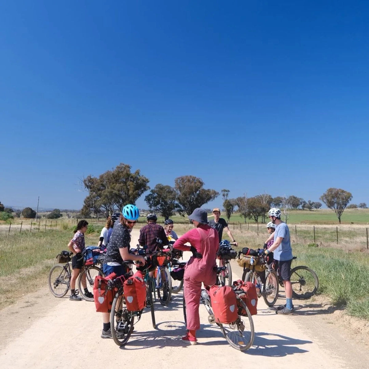
- If you want to stay in accommodation then book well ahead. Most towns have limited accommodation options and the route is popular.
- This area sees lots of thorns or “three corner jacks” so upgrade to puncture resistant tyres or tubeless setups. Aim to carry 2-3 spare tubes per person.
- The central west can get extremely hot in summer, we recommend riding in Spring, Winter or Autumn. If riding in summer be prepared to ride early in the morning to avoid the worst of the heat.
- Jump on the Central West Trail Facebook page for updates about trail conditions or updates. There are a number of small food and accommodation businesses flourishing along the trail, think farm stays or trailside meal services so check the Facebook group or ask in towns.
Additional resources
Central West Facebook group
Central West Cycling Trail official site
Buy the guidebook with maps (highly recommended)