


Distance: | Time: | Difficulty (1-10): | Total ascent: |
% sealed: | % dirt: | % singletrack: | % hike-a-bike: |
Feb 2024 update: Wombeyan Caves kiosk, caves and camping are closed, however the road in is passable.
This ride is a perfect moderate difficulty overnighter with sweeping gravel descents and climbs. Best enjoyed in a 'fast and light' fashion, staying at the pub in Taralga.
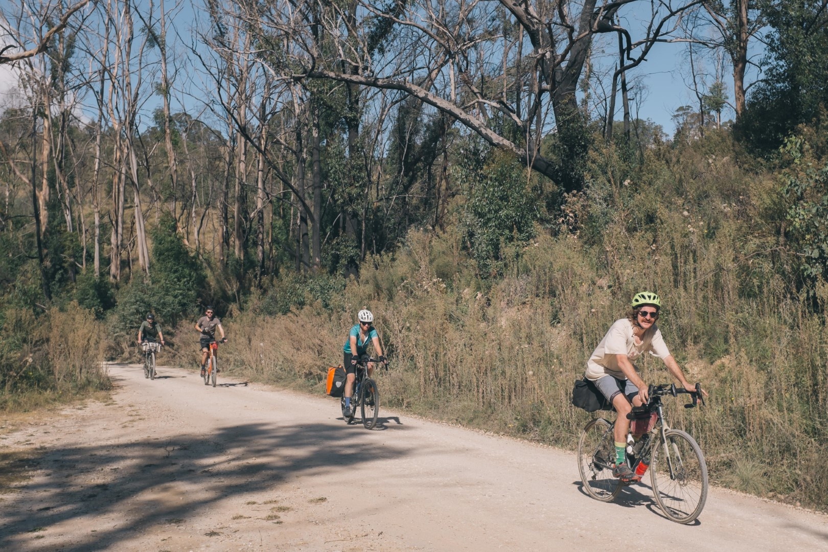
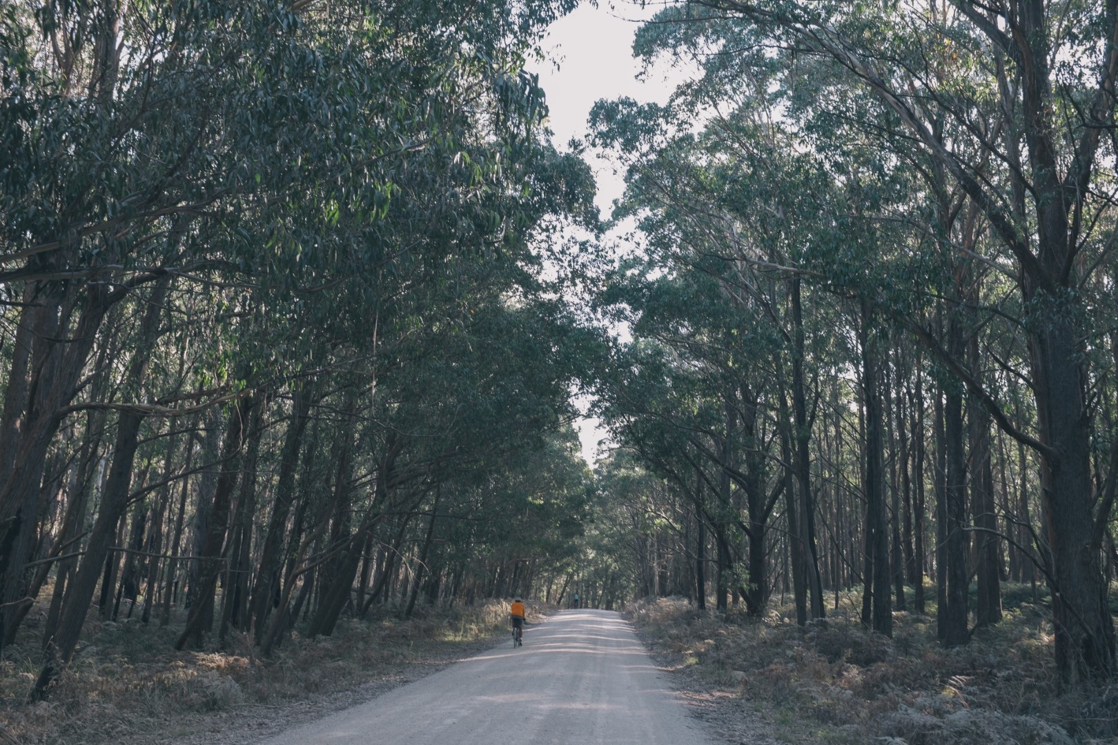
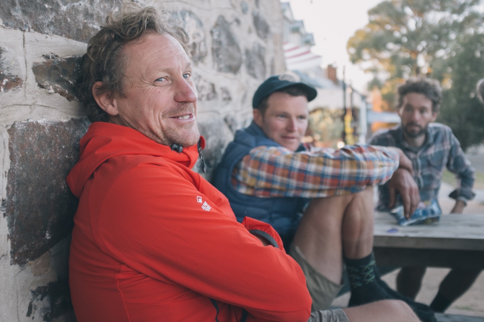
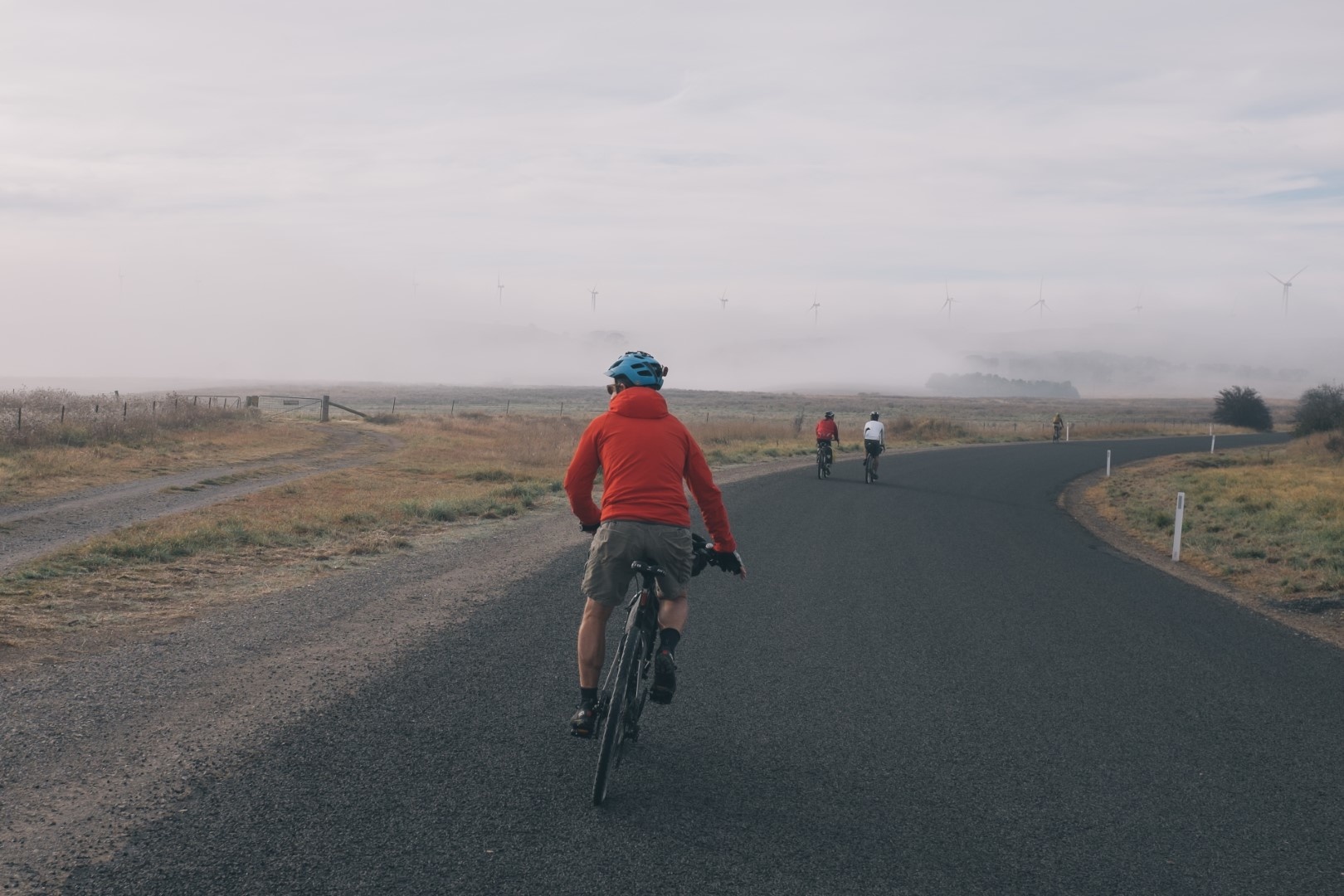
Photos courtesy David Roche
Route notes
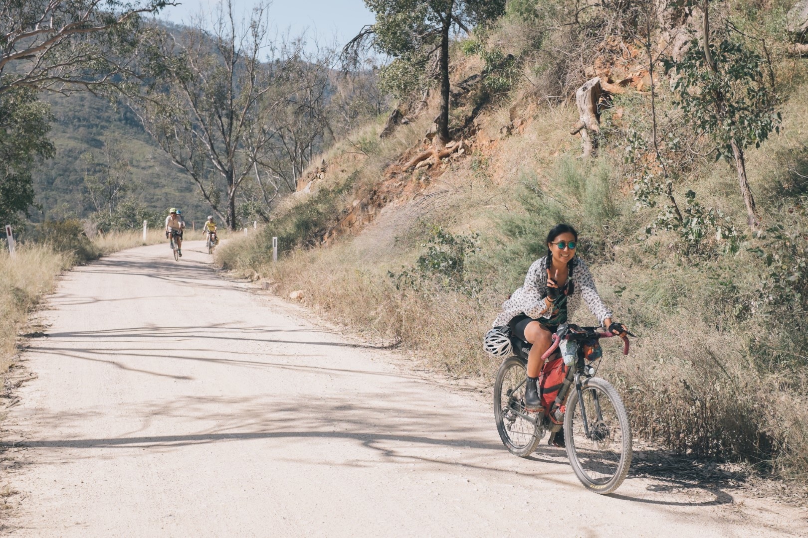
Day 1: 98kms (2,000m climbing, 70:30 dirt/bitumen)
The ride starts in Mittagong, approximately 1.5 hours drive south of Sydney, or accessible on the Southern Highlands train line (though only two bikes are permitted per train past Campbelltown).
The first few kilometres out of town are on moderately busy roads, but soon after turning onto Wombeyan Caves Road the traffic drops significantly. 20kms of gentle undulations climbing slightly follow and are a good chance to warm up the legs and relax into the ride. At approximately the 22km mark the road passes through a tunnel carved into a cliff face, a perfect snack stop.
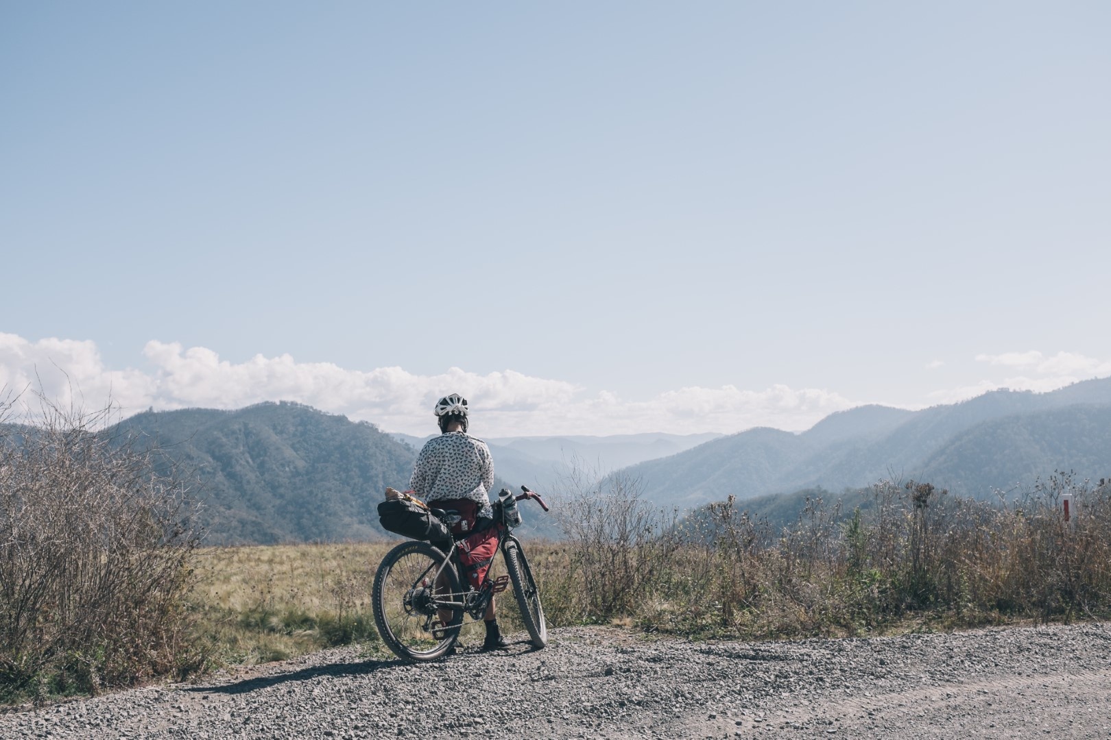
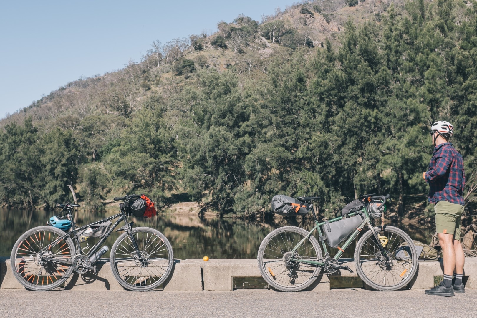
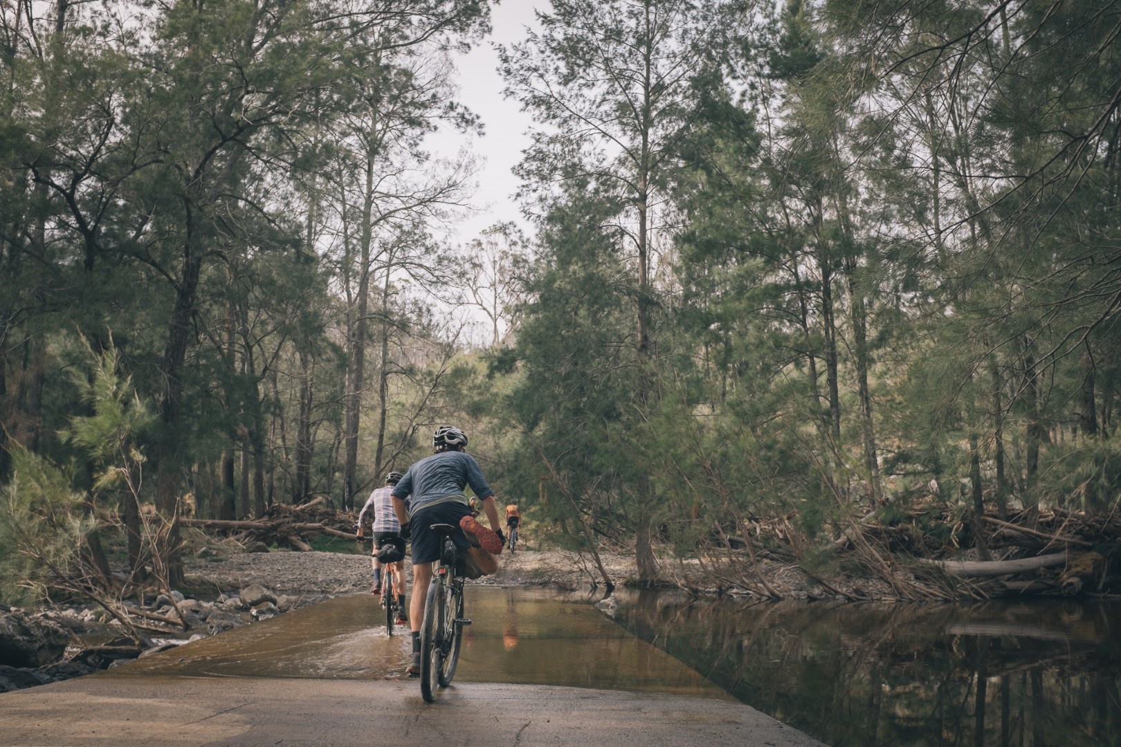
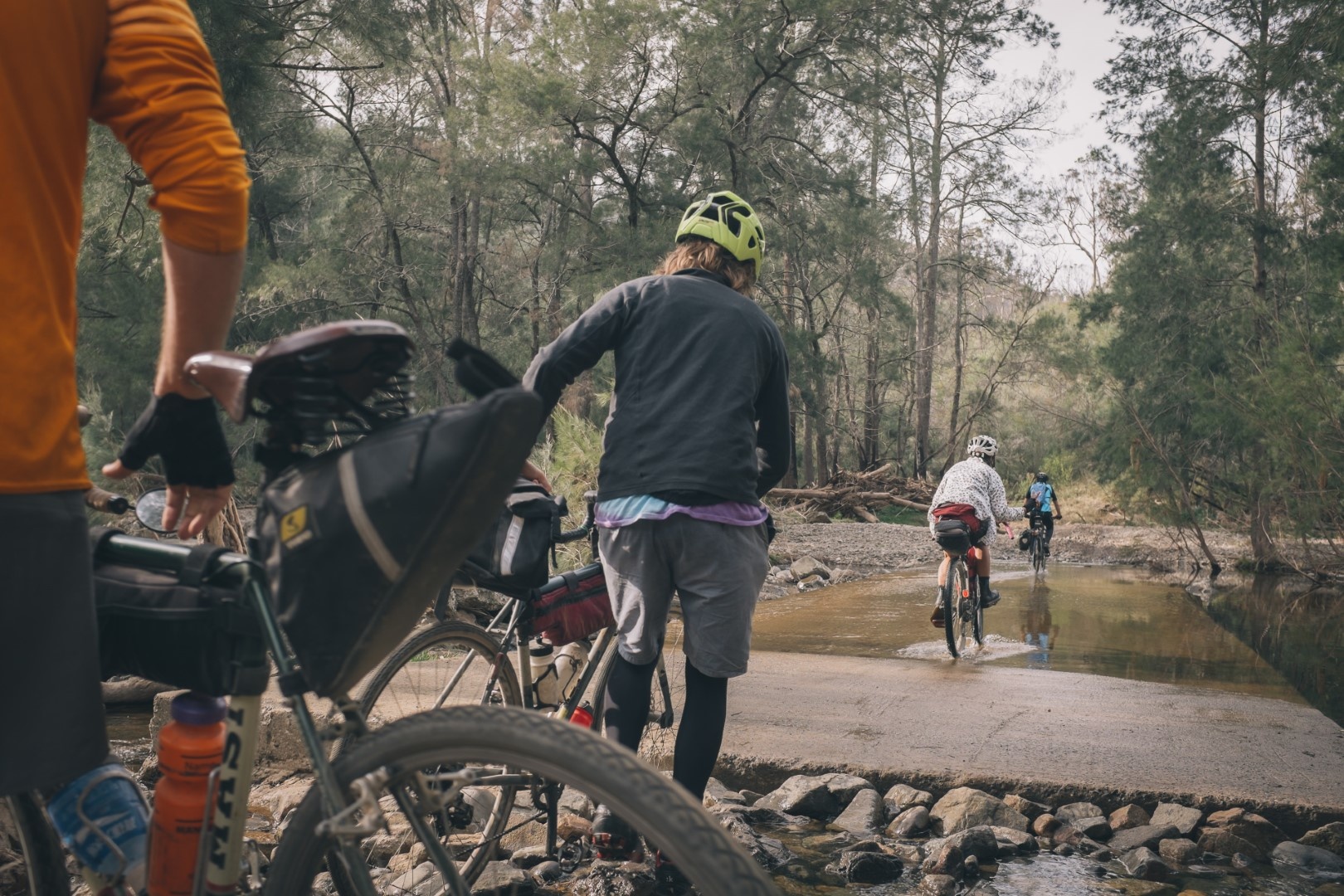
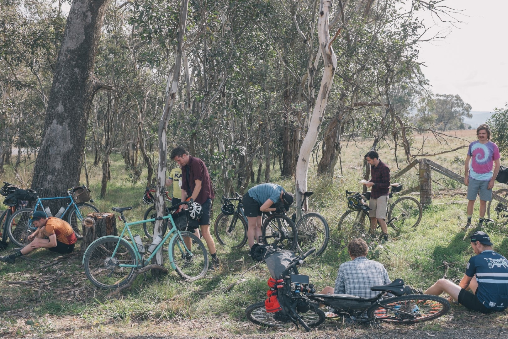
The road then undulates gently for a few kms before a significant 10km descent down to the Wollondilly River. This descent can be fast and quite corrugated, take care to watch for approaching traffic on the blind corners. The Wollondilly River crossing is a good spot for lunch, or at least get some food in before the first major climb of the day. If you were planning a shorter ride there is a campground here where you can book to stay, with beautiful campsites by the river. From the river crossing the road climbs significantly for 12 km on a beautiful gravel road, it's never particularly steep but it is a long climb. Settle into the climb and enjoy amazing views over the valley.
The road then drops into Wombeyan Caves, part of the Wombeyan Karst Conservation Reserve. There is more camping available here booked through National Parks, as well as water, toilets and a tiny kiosk with erratic opening hours.The second major climb of the day comes after the caves, approximately 6kms of climbing mostly sealed. From there it's only 25kms to go, most of which is gently undulating nice gravel. The last 10kms into Taralga is back on a sealed road with a bit more traffic. Care should be taken here particularly if you are riding at dusk or in the dark.
Day 2: 120kms (1,700m climbing 60:40 dirt/bitumen)
The second day is longer than the first but realistically similar difficulty with the extra distance offset by less climbing.
Take care to fill up your bottles when leaving Taralga as there is no drinking water until the 85km mark, apart from some creek crossings that could be dry depending on the time of year (and also should be filtered)
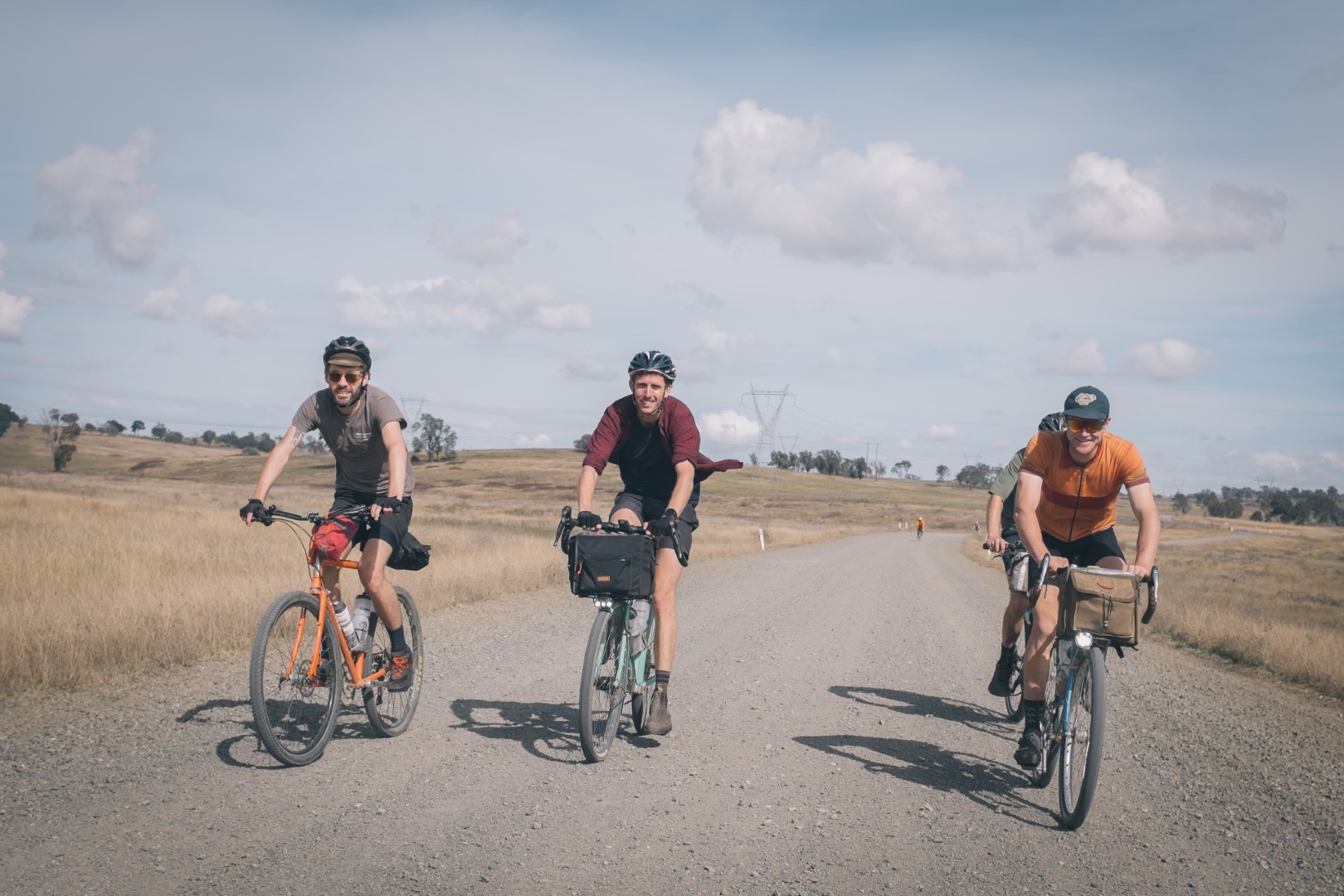
The first 20kms is mostly easy riding before turning down into Swallow Tail Pass on Brayton Road. This is likely the roughest part of the whole loop, as the road descends to the river and climbs steeply on the other side. The entire section is only about 6kms long but may be quite loose, rocky and washed out in sections. Those on bigger tyres will love this section, those on slick gravel tyres should take care. The river itself is very picturesque and the damage to the road means that car traffic is unlikely.
Riding on towards Mittagong the route continues on quite backroads, before crossing the Hume at the 85km mark. It's necessary to ride for approximately 2kms on the broad shoulder of the Hume at this point. The shoulder is very wide though and you are well clear of traffic. The only bit to be aware of is when turning into the service centre - watch for cars also taking the exit ramp who will still be travelling fast.
The last 35kms of the ride are through the back roads and bike paths of the Highlands through Exteter, Moss Vale and Bowral. If you have extra time there are some great cafes and small shops, otherwise put your head down to knock out the final few kms. A great spot to end the ride is the Eden Brewery in Mittagong, they have excellent beers on tap and a burger truck on Sundays.
Map & GPS
Important details
Water and food sources
There are very limited opportunities to fill up on food and water either day. We recommend carrying a water filter or tablets in case you need to drink from the rivers.
There are no services or water on day two until the 85km mark.
Carry two litres minimum in cooler weather and 3-4 litres if riding in summer. Wombeyan Caves has a kiosk with limited offerings and erratic opening hours.
Weather and when to ride
This route would be most enjoyable in Spring or Autumn when the Southern Highlands is often cool and clear. Summer would mean carrying extra water as some sections are quite exposed and the days are long. Winter in the highlands can be a quite a few degrees cooler than Sydney, so make sure you pack appropriate cold weather riding gear.
What to ride
This route would be most enjoyable on a gravel or light bikepacking bike. Think 32-45mm tyres and a real minimum of gear. A mountain bike would also be fine but consider swapping knobblies for some narrower gravel or slick tyres.